
A winter storm can make two nearby Washington rivers look like they belong in different seasons. One may still be climbing while another is already dropping. For a bank angler planning a steelhead trip, the useful question is whether an open reach is likely to offer fishable water and a reliable way back to the truck. A river gauge helps answer part of that question. Pair it with the forecast, a backup plan, and what you can see from shore.
Start with the exact stretch you plan to fish
Write down the river, the boundaries of the reach, and the date you intend to fish. Then compare the Washington Department of Fish and Wildlife sport fishing rules with its emergency rules. Read the effective dates and boundary descriptions. Check which species you can target, what gear you can use, and what the rules say about retention and release. Confirm access separately. A road that follows a river can still pass through private property.
This planning guide does not identify any reach as open/closed or state a season, bag limit, or gear restriction for a specific river. Check your reach again before leaving home. If you can’t resolve its status, use a different plan.
Read the trend before you read the number
Open USGS Washington water conditions and choose a station that reasonably represents the water you intend to fish. Note whether it sits above or below major tributaries. A gauge upstream of a creek can miss the extra water and sediment that creek adds to your reach. USGS explains how to find real-time and historical streamflow data if you need to compare recent conditions with earlier trips.
Look at discharge, usually expressed in cubic feet per second, or gauge height, which measures water level relative to the station’s reference point. Keep comparisons within the same station and the same measurement. A discharge number that looks familiar on one river can mean very different conditions on another. Check the timestamp and scan the last two or three days so you can see the storm rise and what followed.
If the graph is still climbing sharply, check whether more rain is expected upstream. A falling line is a reason to look more closely, especially if the forecast calls for a break. It can still be too high or dirty to fish from your usual spot. A flat line can be useful for comparing two visits, provided the gauge represents your reach and the latest reading is current.
Build a bank plan before packing a rod
Pick one legal access point with a clear exit and a second option you can reach without improvising a crossing. Check roads and daylight. If the only way to fish a promising run is to wade through fast water or step onto an undercut bank, move on. Take a look from firm ground when you arrive. Floating debris, water cutting off the return path, or a bank you can’t safely approach are reasons to leave that spot.
Look at the near bank first. A bend or gravel bar may give you a strip of slower water next to the main current. Follow the boundary between those speeds with your eyes. Ask whether you can present a lure through that strip and retrieve it without walking into the water or moving onto slick rocks. If you can’t, look for a reach with a better angle.
Fish one seam before changing the whole setup
Where the rules allow it, a float and jig gives you a visible reference for what the current is doing. From a stable position, begin with a short drift on the slower side of the seam. Keep enough slack out of the line to respond to the float. If faster water grabs a belly of line and pulls the float out of the lane, shorten the cast or change your angle before changing the jig.
Start shallow and deepen the presentation a little at a time. If the float stalls or tips in the same place on repeated passes, try a shallower setting to see whether the jig was touching bottom. Make a few comparable passes before moving to the next lane. Treat the first run as a chance to learn how the rig behaves. A long cast through several currents makes it harder to tell which change helped.
Keep a river log that earns its space
After each trip, record the gauge station, reading and time, whether the river was rising or falling, approximate visibility, and whether your access was usable. Write down observations even on a blank day. “Could cover the near seam from dry gravel” helps more on the next trip than a bare flow number. After a few visits, you’ll have a reference for that particular bank and reach. For more river tactics, browse the Fishing Gods Salmon and Steelhead guides.
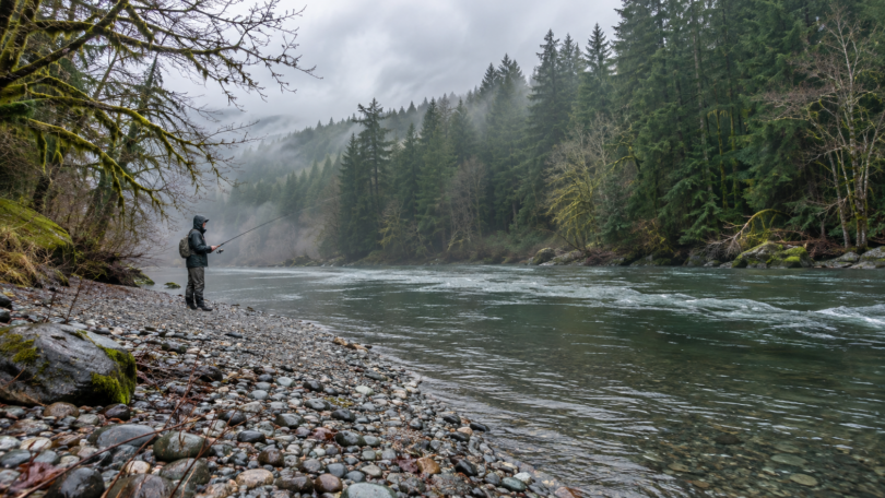
Featured image: AI-generated editorial illustration for Fishing Gods.